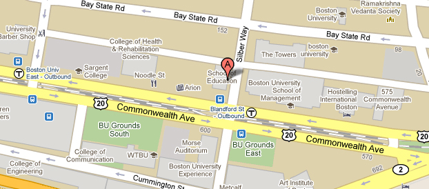
Most people are already familiar with Google Maps, so why not utilise that to present your business data to your users. Today I am going to show you how to use the Google Maps API to track vehicles using their AVL data. This is something I have done for the Fire Service to show the location of Fire Engines across the county.
For this we are going to need the following:
- JQuery
- The Google Maps JavaScript API
- A page that displays the google map
- Some JavaScript to pull the vehicle locations
- A PHP Script to serve the vehicle locations
- A way to generate dynamic icons
To start with we will need a simple page that will include the required JavaScript, StyleSheets and HTML code to provide a placeholder for the Google Map.


